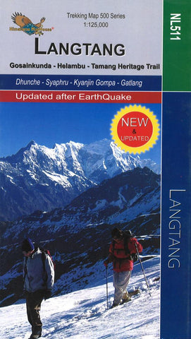
Langtang : Gosainkunda - Helambu - Tamang Heritage Trail : 1:125,000
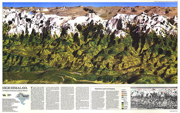
Langtang, Gosaikund and Helambu regions of Nepal, north and north-east of Kathmandu, on a double-sided map from Nepa Maps, presenting the area on one side at 1:125,000, with on the reverse the Tamang Heritage Trail shown in more detail at 1:25,000. Coverage of the main 125K map extends from the capital to the Tibetan border and eastwards to the Kodari border crossing. The map shows numerous trekking routes from Kathmandu, Trisuli, Melamchi and Chautara northwards towards the Langtang National Park, as well as routes along the Lantang Valley and to the Naya Kanga peak. Contours lines are at 80m intervals. Margin ticks show latitude and longitude at intervals of 5’. The index lists places, peaks, passes and lakes. On the reverse the area from Syaphru to Timure (Setang) and the Rasawagadhi crossing ti Tibet is presented at 1:25,000 to show in greater detail the Tamang Heritage Trail. Additional information on the inside of the map cover includes a profile of the main the Tamang Heritage T
- Product Number: NEP_LANG_125_18
- Reference Product Number: 2313588M
- ISBN: 9789937649889
- Date of Publication: 6/1/2018
- Folded Size: 9.45 inches high by 4.72 inches wide
- Unfolded (flat) Size: 31.89 inches high by 19.69 inches wide
- Map format: Folded
- Map type: Trade Maps - Hiking
- Geographical region: Nepal