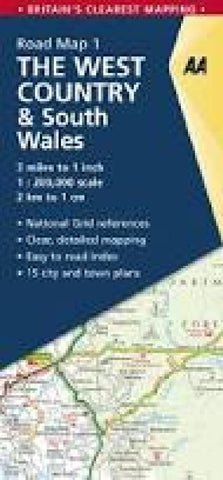
Great Britain Regional Road Map: West Country and South Wales
These are popular maps for the UK, using a combination of the OS and their own cartography. AAs regional road maps use a plain white base to provide an unobtrusive background for the road network and the names of towns and villages. Coloring is used only to show national parks and forest parks. Rivers and lakes are included, but other topographic information is limited to names of selected mountain ranges, peaks and valleys, plus spot heights. Steep roads have gradient signs. Designed as road maps, this series has a clear presentation of the road network, including speed cameras, as well as places of interest shown. Street plans of main towns highlight parking facilities.
- Product Number: AAP_GB_1_22
- Reference Product Number: - None -
- ISBN: 9780749582807
- Date of Publication: 6/1/2022
- Folded Size: 9.84 inches high by 4.72 inches wide
- Unfolded (flat) Size: 55.12 inches high by 33.46 inches wide
- Map format: Folded
- Map type: Trade Maps - Road
- Geographical region: United Kingdom
- Geographical subregion: Wales