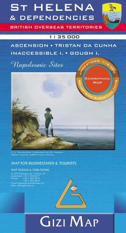
St Helena & Dependencies : British overseas territories : 1:35,000 : Ascension, Tristan do Cunha, Inaccessible I., Gough I. : Napoleonic sites : geographical map
The island of St. Helena is shown at a hiking map scale of 1:35,000, a small inset shows the street plan of central Jamestown 1:6,000). The other islands of the British Overseas Territories in the Atlantic (Tristan da Cunha, Ascension, Inaccessible Island and Gough Island) are shown at 1:75,000, with superb cartography and places of interest. The map excellently presents the topography of all the islands, with bright colouring and vivid relief shading, accompanied by spot heights and names of many peaks, valleys and other geographic features. Small settlements and many individual buildings are shown, roads and local tracks are marked. On St. Helena hiking trails are also highlighted and local administrative boundaries are marked. The map indicates locations with tourist accommodation and prominently shows various places of interest. Special highlighting marks sites associated with Napoleons exile on St. Helena and the map also shows the boundary of the territory assigned to the depose
- Product Number: GIZ_ST_HEL_GEOG_11
- Reference Product Number: 2024765M
- ISBN: 9786155010002
- Date of Publication: 6/1/2011
- Folded Size: 9.45 inches high by 5.12 inches wide
- Unfolded (flat) Size: 27.17 inches high by 27.56 inches wide
- Map format: Folded
- Map type: Trade Maps - Physical
- Geographical region: Saint Kitts and Nevis