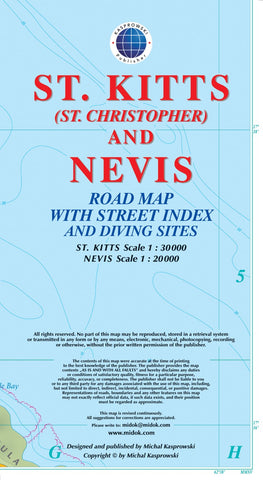
St. Kitts (St. Christopher) and Nevis : road map with street index and diving sites
This first and only complete road and street map with a street index of the twin-island nation of St. Kitts, 1 : 30 000 scale, and Nevis 1 : 20 000 scale, offers roads and streets with their names, traces hiking trails, diving sites, and parish boundaries, and presents insets of the islands respective capitals Basseterre and St.Charles. *** The double-sided map, with one island on each side, is sold folded measuring 4 7/8 x 8 7/8 ( 12.5 cm x 22.5 cm ), and is designed for easy opening and refolding. Its full unfolded format is 26 3/8 x 38 1/2 ( 67 cm x 98 cm ). *** Designed for travelers, these two excellent maps have unrivaled coverage of the islands, and their comprehensive information and attention to detail fit a broad range of interests. Both maps have three levels of roads (main roads, secondary roads, and footpaths) and symbols designating a broad array of physical features.
- Product Number: KAS_KIT_NEV_15
- Reference Product Number: 2226205M
- ISBN: 9791095793113
- Date of Publication: 6/1/2015
- Folded Size: 9.06 inches high by 5.12 inches wide
- Unfolded (flat) Size: 38.58 inches high by 26.38 inches wide
- Map format: Folded
- Map type: Trade Maps - Road
- Geographical region: Saint Kitts and Nevis