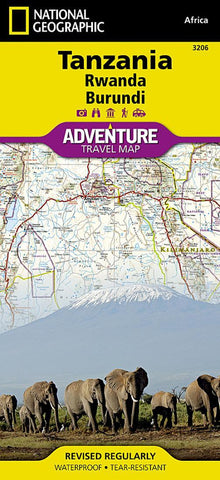
Tanzania, Rwanda, and Burundi Adventure Map 3206
National Geographics Tanzania, Rwanda, Burundi AdventureMap is designed to meet the unique needs of adventure travelers with its durability and accurate information. This folded map provides global travelers with the perfect combination of detail and perspective, highlighting hundreds of points of interest and the diverse and unique destinations within the country.
The front side of the Tanzania map details the southern region of the country, from Zambia to the south, to the bordering country of Burundi to the west. The reverse side of the map details the northern region, showing the bordering country of Kenya to the north, and the Indian Ocean to the east.
The map includes the locations of cities and towns with a user-friendly index, plus a clearly marked road network complete with distances and designations for major highways, main roads, and tracks and trails for those seeking to explore more remote regions.
Every AdventureMap is printed on durable synthetic pa
- Product Number: NG_AM_TAN_22
- Reference Product Number: - None -
- ISBN: 9781566956192
- Date of Publication: 6/1/2022
- Folded Size: 9.45 inches high by 4.33 inches wide
- Unfolded (flat) Size: 25.59 inches high by 37.4 inches wide
- Map format: Folded
- Map type: Trade Maps - Travel
- Geographical region: Burundi,Rwanda,Tanzania