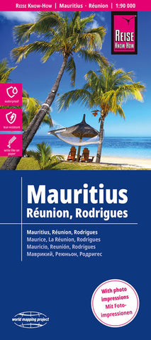
Mauritius, Réunion, Rodrigues
Indexed, waterproof and tear-resistant map at 1:90,000 with topographic and tourist information, covering Mauritius and Reunion, plus the less often visited island of Rodrigues. The map, published by Reise Know-How as part of their highly acclaimed World Mapping Project, is double-sided, presenting each of the two main islands separately.
Road networks on Mauritius and Reunion are easy to see on a clear base which shows the islands’ topography by altitude colouring with contours, spot heights, mountain passes, and names of mountain ranges. Coral reefs are also marked. Internal administrative boundaries are shown with names of the provinces. National parks and protected areas are marked and symbols highlight various places of interest, including viewpoints, waterfalls, campsites, golf courses, beaches and marinas, diving and surfing sites, botanical gardens, etc. The maps have both a UTM grid and a latitude/longitude grid at intervals of 5’. Each island has a separate index of loca
- Product Number: RKH_MRS_23
- Reference Product Number: - None -
- ISBN: 9783831774470
- Date of Publication: 2/1/2023
- Folded Size: 10.24 inches high by 4.72 inches wide
- Unfolded (flat) Size: 27.56 inches high by 39.37 inches wide
- Map format: Folded
- Map type: Trade Maps - Road
- Geographical region: Mauritius