
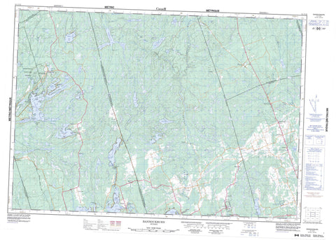
031C12 Bannockburn Canada topo map, 1:50,000 scale
031C12 Bannockburn NRCAN topographic map.
Includes UTM and GPS geographic coordinates (latitude and longitude). This 50k scale map is suitable for hiking, camping, and exploring, or you could frame it as a wall map.
Printed on-demand using high resolution, on heavy weight and acid free paper, or as an upgrade on a variety of synthetic materials.
Topos available on paper, Waterproof, Poly, or Tyvek. Usually shipping rolled, unless combined with other folded maps in one order.
- Product Number: NRCAN-031C12
- Parent Topo: TOPO-031C
- Map ID also known as: 031C12, 31C12
- Unfolded Size: Approximately 26" high by 36" wide
- Weight (paper map): ca. 55 grams
- Map Type: POD NRCAN Topographic Map
- Map Scale: 1:50,000
- Geographical region: Ontario, Canada
Neighboring Maps:
All neighboring Canadian topo maps are available for sale online at 1:50,000 scale.
Purchase the smaller scale map covering this area: Topo-031C
Spatial coverage:
Topo map sheet 031C12 Bannockburn covers the following places:
- Bass Bay - Connor Bay - Crowe River Bay - Deer Bay - MacDonald Bay - McCoy Bay - Munn Bay - Myer Bay - North River Bay - Portage Bay - Roddy Bay - Sebright Bay - Stony Lake Bay - Troutling Bay - Crowe River Point - Belmont - Chandos - Dummer - Grimsthorpe - Hastings - Huntingdon - Lake - Madoc - Marmora - Methuen - Peterborough - Tudor - Big Island - Birch Island - Dunlop Island - Green Island - One Tree Island - Ormes Island - Pine Island - Sammy Island - Silver Island - Twin Islands - Barrette Lake - Bear Mountain Lake - Belmont Lake - Big Buck Lake - Big Burnt Lake - Big Mountain Lake - Black Lake - Blind Lake - Blue Lake - Bluff Lake - Bog Lake - Bottle Lake - Bow Lake - Buttermilk Lake - Carson Lake - Connor Lake - Copeway Lake - Cordova Lake - Crowe Lake - Devils Lake - Door Lake - East Twin Lake - Eldorado Lake - Grassy Lake - Gunter Lake - Harper Lake - Hidden Lake - Horse Lake - Jack Lake - Jarvis Lake - Kasshabog Lake - Limit Lake - Little Burnt Lake - Little Mountain Lake - Little Sugarbush Lake - Little Whitney Lake - Long Lake - Lost Lake - Mann Lake - Methuen Lake - Mud Turtle Lake - Oak Lake - Otter Lake - Robinson Lake - Round Lake - Sams Lake - Sandy Lake - Sawlog Lake - South Lake - St. Charles Lake - Sugarbush Lake - Tamarack Lake - Tangamong Lake - Thomson Lake - Twin Sister Lakes - West Twin Lake - Whetstone Lake - Wolf Lake - Blue Mountain - Blue Mountains - Hastings - Peterborough - Belmont and Methuen - Burleigh and Anstruther - Burleigh-Anstruther-Chandos - Chandos - Douro - Douro-Dummer - Dummer - Elzevir and Grimsthorpe - Havelock-Belmont-Methuen - Hungerford - Madoc - Marmora - Marmora and Lake - North Kawartha - Tudor and Cashel - Tweed - Quackenbush Provincial Park - Fidlar Rapids - Beaver Creek - Copeway Creek - Crowe River - Dickey Creek - Gawley Creek - Glanmire Creek - Grassy Creek - Jordan River - Little Jordan Creek - Moira River - North River - Otter Creek - Ouse River - Railway Creek - Tomahawk Creek - West Black River - Whitney Creek - Huckleberry Rocks - Bannockburn - Blue Mountain - Cordova Mines - Deloro - Eldorado - Fox Corners - Hogan - Kasshabog Lake - Keller Bridge - MacDonald Bay - Malone - Marmora Station - Millbridge - Nephton - Oak Lake - Rockdale - Round Lake - Shanick - South Lake - Vansickle


