
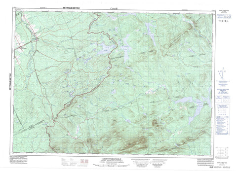
021E16 Saint Theophile Canada topo map, 1:50,000 scale
021E16 Saint Theophile NRCAN topographic map.
Includes UTM and GPS geographic coordinates (latitude and longitude). This 50k scale map is suitable for hiking, camping, and exploring, or you could frame it as a wall map.
Printed on-demand using high resolution, on heavy weight and acid free paper, or as an upgrade on a variety of synthetic materials.
Topos available on paper, Waterproof, Poly, or Tyvek. Usually shipping rolled, unless combined with other folded maps in one order.
- Product Number: NRCAN-021E16
- Parent Topo: TOPO-021E
- Map ID also known as: 021E16, 21E16
- Unfolded Size: Approximately 26" high by 36" wide
- Weight (paper map): ca. 55 grams
- Map Type: POD NRCAN Topographic Map
- Map Scale: 1:50,000
- Geographical region: Quebec, Canada
Neighboring Maps:
All neighboring Canadian topo maps are available for sale online at 1:50,000 scale.
Purchase the smaller scale map covering this area: Topo-021E
Spatial coverage:
Topo map sheet 021E16 Saint Theophile covers the following places:
- Baie du Penob - Pointe du Penob - Pointe Fox - Chute du Portage - Jersey - Linière - Marlow - Metgermette-Sud - Risborough - Saint-Théophile - Barrage Bartley - Barrage de l'Île - Barrage des Cinq-Castors - Barrage du Canard - Barrage Long - Île à Baptiste - Île aux Canards - Îles des Goélands - Fish Pond - Lac à Jos-Vallée - Lac à Petit-Jean - Lac à Placide - Lac aux Castors - Lac Bartley - Lac Champagne - Lac Clem - Lac Coburn - Lac de la Barbotte - Lac de la Dame - Lac de l'Île - Lac des Cinq Castors - Lac des Cygnes - Lac du Canard - Lac du Monument - Lac du Petit Castor - Lac du Portage - Lac Ed - Lac Hélène - Lac Jolin - Lac Lulu - Lac Marlow - Lac Michel - Lac Michou - Lac Ovale - Lac Vic - Lac Whisky - Lac Wilson - Lac Yolande - Lac Yvan - Lacs Oliva - Les Eaux Mortes - Petit lac Bartley - Slouce à Édouard-Lacroix - Mont Sandy Stream - Montagne à Feu - Sandy Stream Mountain - Lac-du-Portage - Zec Jaro - Décharge du Fish Pond - Petit ruisseau Caouette - Petite rivière du Monument - Rivière des Voyageurs - Rivière du Loup - Rivière du Monument - Rivière du Portage - Rivière du Portage Nord - Rivière Linière - Rivière Noire - Rivière Taschereau - Rivière Wilson - Ruisseau à Jimmy-Sind - Ruisseau à Plante - Ruisseau Boutin - Ruisseau Caouette - Ruisseau Croche - Ruisseau du Camp - Ruisseau Grand Caouette - Ruisseau Laplante - Ruisseau Laurison - Ruisseau Lindsay - Ruisseau Moore - Ruisseau Noir - Ruisseau Oliva - Ruisseau Plante - Ruisseau Poulin - Ruisseau Poulin - Ruisseau Rochette - Ruisseau Vic - Ruisseau Vigneault - Armstrong - La Maison-des-Mines - Lac-à-Dave - Saint-Théophile - Territoire-Coburn - Saint-Théophile - Saint-Théophile-de-la-Beauce


