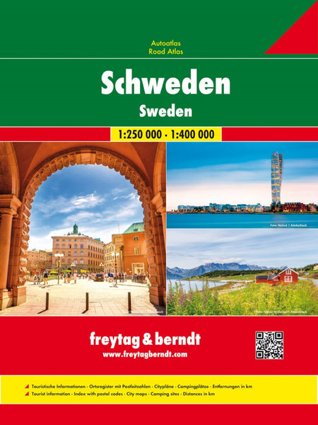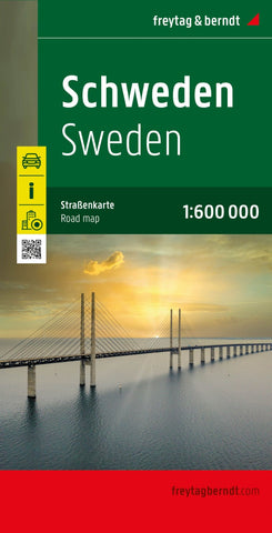
Sweden, road map 1:600,000
Sweden at 1;600,000 on a large, double-sided map from Freytag & Berndt, with a separate index booklet listing all localities with their postcodes and providing street plans of central areas in six main cities, including Stockholm and Gothenburg.
The country’s topography is shown by bold relief shading, with additional spot heights. National parks and other protected areas are highlighted. Road information includes driving distances on many secondary roads and steep gradients. Car and passenger ferries are marked and railways, rack railways and cable railways are shown. Also indicated are provincial administrative boundaries.
Symbols mark various places of interest, including isolated hotels, campsites, etc. Latitude and longitude lines are drawn at 30 intervals. Map legend includes English.
A separate booklet attached to the map cover contains an index and street plans of central Stockholm, Gothenburg/Götebog, Linköping, Sundsvall, Umea and Uppsala.
- Product Number: FB_SWE_23
- Reference Product Number: - None -
- ISBN: 9783707921687
- Date of Publication: 5/1/2023
- Folded Size: 10.02 inches high by 5.11 inches wide
- Unfolded (flat) Size: 10.02 inches high by 5.11 inches wide
- Map format: Folded
- Map type: Trade Maps - Road
- Geographical region: Sweden