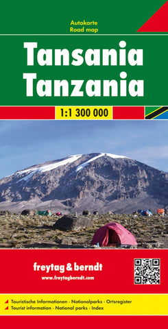
Tanzania, road map 1:1.3 000,000
Tanzania at 1:1,300,000 on an indexed map from Freytag & Berndt, prominently highlighting locations with various types of tourist accommodation, fuel supplies, places of interest, etc. The map presents the country’s road network including selected cart tracks, with driving distances marked on main routes and locations of petrol stations. Railway lines are included, domestic airports are marked, and the map also shows both coastal ferry connections and routes on Lake Victoria and Lake Tanganyika.
Topography is presented by relief shading with spot heights. National park, games reserves and other protected areas are highlighted. Large icons prominently indicate various facilities and places of interest. Latitude and longitude lines are drawn at 1° intervals. The index is on the reverse. Map legend includes English.
- Product Number: FB_TAN_17
- Reference Product Number: 2274657M
- ISBN: 9783707913330
- Date of Publication: 9/12/2017
- Folded Size: 10.02 inches high by 5.11 inches wide
- Unfolded (flat) Size: 10.02 inches high by 5.11 inches wide
- Map format: Folded
- Map type: Trade Maps - Road
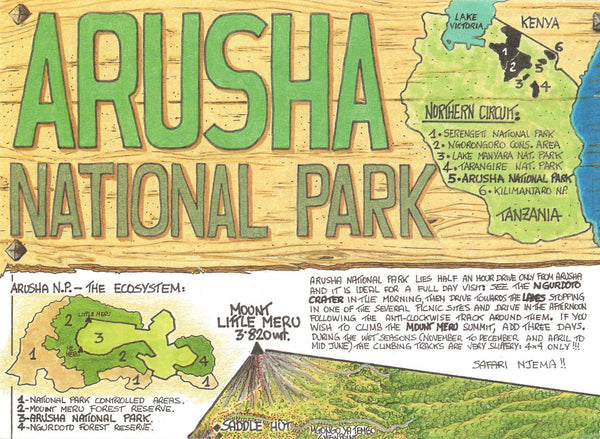
- Geographical region: Tanzania