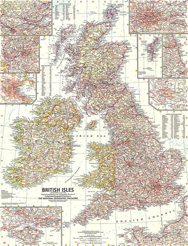
1958 British Isles Map
This map of the British Isles includes detailed insets of major cities as well as the Isle of Wight and the Shetland Islands. Includes counties and their abbreviations. Published in July 1958.
- Product Number: PODHNG_UK_58
- Reference Product Number: 2321464M
- ISBN: - None -
- Date of Publication: 6/1/1958
- Unfolded (flat) Size: 24.75 inches high by 19 inches wide
- Map format: Wall
- Map type: Trade Maps - Political
- Geographical region: United Kingdom