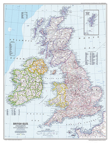
1979 British Isles Map
This attractive modern map of the British Isles includes ferry routes along with places of interest such as ruins and battle sites. Published in October 1979 as a companion to the historical map Medieval England.
- Product Number: PODHNG_UK_79
- Reference Product Number: 2321480M
- ISBN: - None -
- Date of Publication: 6/1/1979
- Unfolded (flat) Size: 29.25 inches high by 22.75 inches wide
- Map format: Wall
- Map type: Trade Maps - Political
- Geographical region: United Kingdom