
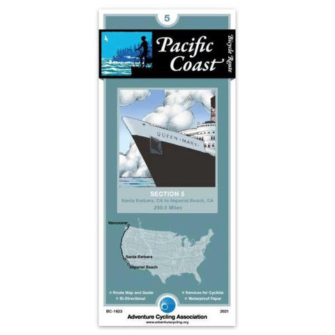
Pacific Coast Bicycle Route #5
Because the heavy traffic tends to be even heavier in summer, we recommend that you ride this toute in the spring or autumn. May and September/October are the best months for riding. Note that during summer, strong winds prevail from north to south. In Santa Barbara and the towns surrounding it, prepare for urban riding conditions. US 101 between Santa Barbara and Ventura is closed to bicyclists, so youll ride on city streets and county roads. The route stays close to sea level here. Traffic levels build near Ventura and Oxnard, then tapers off until Los Angeles County. Youll ride on a bike path through Emma Wood State Beach north of Ventura, and join SR 1 southeast of Port Hueneme. South of the Ventura/Los Angeles County line youll ride through Malibu on a four- and six-lane freeway with wide shoulders. Traffic is heavier on weekends and during the summer. Through Los Angeles youll be using beachside bicycle and pedestrian paths. Youll follow city streets through Palos Verdes Est
- Product Number: ADCY_BC_1623_21
- Reference Product Number: - None -
- ISBN: 9780935108392
- Date of Publication: 12/1/2021
- Folded Size: 8.25 inches high by 3.75 inches wide
- Unfolded (flat) Size: 24 inches high by 18 inches wide
- Map format: Folded
- Map type: Trade Maps - Bicycling
- Geographical region: United States
- Geographical subregion: California


