
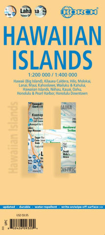
Hawaiian Islands Tourist Map
Hawaiian Island on a double-sided, waterproof and tear-resistant tourist map from Borch combining road maps of the individual islands and street plans of main towns. The maps have a vivid presentation of archipelago’s unique topography and together with the street plans highlight numerous places of interest and locations of hotels.
On one side is Hawaii itself (the Big Island) at 1:400,000 with an enlargement showing the Kilauea Caldera in greater detail at 1:150,000, plus a street plan of downtown Hilo. A separate panel at 1:200,000 presents Maui with Lanai and Molokai, plus a street plan of the Wailuku - Kahaului area on Maui.
On the reverse is Oahu at 1:200,000 with a large street plan of the Honolulu - Pearl Harbor area, plus an enlargement showing downtown Honolulu in greater detail. Also shown here are maps of Kauai (1:200,000) and Niihau (1:400,000).
The island maps have vivid relief shading to provide an excellent picture of the islands’ topography, with
- Product Number: BOR_HI_20
- Reference Product Number: 2324294M
- ISBN: 9783866093201
- Date of Publication: 6/1/2019
- Folded Size: 9.45 inches high by 4.33 inches wide
- Unfolded (flat) Size: 38.98 inches high by 19.69 inches wide
- Map format: Folded
- Map type: Trade Maps - Travel
- Geographical region: United States
- Geographical subregion: Hawaii


