
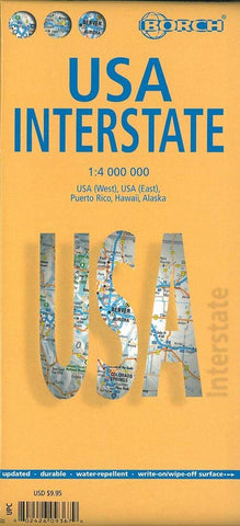
United States, Interstates Road Map
USA Interstate map from Borch, printed on sturdy, waterproof and tear-resistant plastic paper, provides an overview of the country’s network of main highways and connecting major roads, with geographical information as the background, plus places of interest.
The map is double-sided, with a generous overlap between the two sides. Alaska, Hawaii and Puerto Rico are included as insets. The base map has relief shading to show various mountain ranges. Numerous national parks and other protected areas are highlighted, as well are restricted entry military zones and Indian Reservations. Also marked are main places of interest such as historical sites, major local museums, etc.
Main express highways are clearly contrasted with other routes. Road numbers and driving distances are given for all but the smallest local roads included on the map. State borders are prominently marked and time zone boundaries are also shown. The map has latitude and longitude lines at intervals of 2°.
- Product Number: BOR_USA_23
- Reference Product Number: - None -
- ISBN: 9783866093676
- Date of Publication: 6/15/2023
- Folded Size: 9.45 inches high by 4.33 inches wide
- Unfolded (flat) Size: 26.97 inches high by 38.58 inches wide
- Map format: Folded
- Map type: Trade Maps - Road
- Geographical region: United States


