
Olympic National Park & Forest Adventure Topographic Map
Olympic National Park & Forest Recreation Map
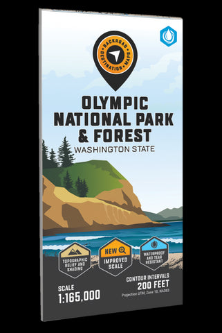
Covering the entire Olympic Peninsula with emphasis on the Olympic National Park and Olympic National Forest areas, this topographic recreation map highlights all of the nearby access roads as well as the multi-use trails for hikers, mountain bikers, horseback riders, cross-country skiers and snowshoers, the motorized trails for ORVers and snowmobiles, fishing lakes and rivers, recreation areas, campgrounds, day-use areas, viewpoints, backcountry campsites, backcountry huts and more.
With industry-leading cartographic detail and special features including federal BLM, regional and DNR state owned land, private land and national forests, countless roads, trails and recreational Points of Interest, you wont find this level of recreational information anywhere else! Using 1:24,000-1:66,000 scale water and road data, this map covers 8,493 square miles and includes Clallam Bay, Forks, Hoodsport, Jamestown, La Push, Neah Bay, Port Angel
- Product Number: BRM_ADV_OLYMPIC_23
- Reference Product Number: - None -
- ISBN: - None -
- Date of Publication: 9/1/2023
- Folded Size: 9 inches high by 4 inches wide
- Unfolded (flat) Size: 38.5 inches high by 36 inches wide
- Map format: Folded
- Map type: Trade Maps - Outdoor Recreation Maps
- Geographical region: United States
- Geographical subregion: Washington


