
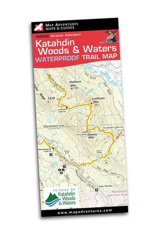
Katahdin Woods & Waters National Monument Trail Map
Katahdin Woods and Waters National Monument is Maine’s newest national park. It consists of 87,563 acres of pristine, remote, wild landscape. This gift to Maine and the nation permanently conserves a beautiful example of Maine’s rivers, streams, woods, and dark night skies – stars unobstructed by artificial light. The park offers something for everyone – hiking, biking, canoeing, kayaking, winter sports, fishing and hunting. Remember, it is accessible by dirt roads only, a high clearance vehicle is recommended.
Map Features
Multi-use trails
Canoe & kayak put-ins
Suggested day-trips
Index of trails
UTM/GIS Grid
Mileage between trail points
Area Covered
Katahdin Woods & Waters National Monument
Towns of Millinocket, East Millinocket and Patton
- Product Number: MADV_KATAHDIN_TL_19
- Reference Product Number: - None -
- ISBN: 9781890060459
- Date of Publication: 1/1/2019
- Folded Size: 9.115 inches high by 4 inches wide
- Unfolded (flat) Size: 24 inches high by 27 inches wide
- Map format: Folded
- Map type: Trade Maps - Hiking
- Geographical region: United States
- Geographical subregion: Maine


