
Montana : ghost towns/sites : then and now
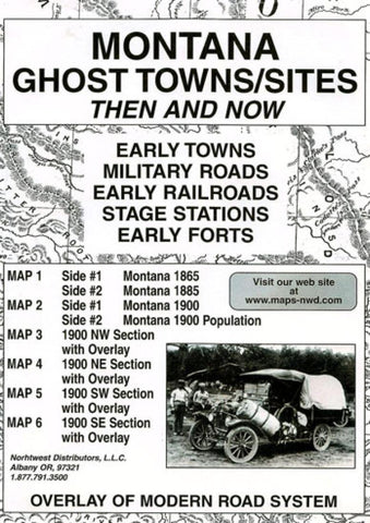
The growth and development of Montana was substantial for the 20 year period that followed 1865, as the roads and railroads penetrated the wilderness.
The growth was particularly evident when comparing the 1865 and 1885 maps. The population for the state was increased by over 6 fold. This explains the many new names that appeared in Deer Lodge and Madison Counties as well as the adjoining counties. The Union Pacific served the area from Deer Lodge south to the state line.
Please be reminded that early place names that appear may not have been a town site. Some early postal services may have been found in a ranch house, stage station, or a mining camp as well.
- Product Number: NWD_MT_GHOST_14
- Reference Product Number: - None -
- ISBN: 9780972044189
- Date of Publication: 6/1/2014
- Folded Size: 9.45 inches high by 6.3 inches wide
- Unfolded (flat) Size: 22.05 inches high by 16.93 inches wide
- Map format: Folded
- Map type: Trade Maps - Historical
- Geographical region: United States
- Geographical subregion: Montana


