
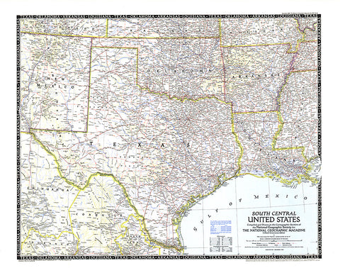
1947 South Central United States Map
The fifth in a series of six sectional maps of the U.S., the South Central United States map was published in December 1947 and includes the states of Texas, Oklahoma, Arkansas, Louisiana, Mississippi, and much of New Mexico. This map series was printed between 1940 and 1948.
- Product Number: PODHNG_US_S_C_47
- Reference Product Number: 2321201M
- ISBN: - None -
- Date of Publication: 6/1/1947
- Unfolded (flat) Size: 24.5 inches high by 31.25 inches wide
- Map format: Wall
- Map type: Trade Maps - Political
- Geographical region: United States


