
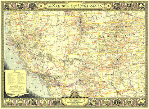
1940 Southwestern United States Map
The Southwestern United States map of June 1940 contains an abundance of notes on historical sites and places of interest as well as the routes of explorers and the dates of their expeditions. The map border contains scenic illustrations and the state seals of the southwestern states. A unique collectors map.
- Product Number: PODHNG_US_SW_40
- Reference Product Number: 2321198M
- ISBN: - None -
- Date of Publication: 6/1/1940
- Unfolded (flat) Size: 25 inches high by 34.25 inches wide
- Map format: Wall
- Map type: Trade Maps - Political
- Geographical region: United States


