
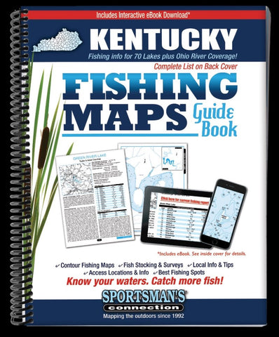
Kentucky Fishing Map Guide
The Kentucky Fishing Map Guide is a thorough, easy-to-use collection of detailed contour lake maps, fish stocking and survey data, and the best fishing spots and tips from area experts.
Fishing maps, detailed area road maps and exhaustive fishing information for lakes across the state are provided in this handy, 224-page, 8 ½ x 11” spiral-bound volume.
Covering 69 of Kentuckys best fisheries - from the giants like Kentucky, Barkley, Cumberland and Dale Hollow all the way down to the peaceful 3-acre Kingdom Come.
Whether youre pitching bucktails for muskies on Cave Run Lake, casting topwaters for schooling stripers on Lake Barkley or catching bass and crappies on Kentucky Lake, youll find all the information you need to enjoy a successful day out on the water on one of Kentuckys many excellent fisheries.
Know your waters. Catch more fish with the Kentucky Fishing Map Guide.
- Product Number: SPCO_KENTUCKY_16
- Reference Product Number: - None -
- ISBN: 9781885010605
- Date of Publication: 6/1/2016
- Unfolded (flat) Size: 11 inches high by 8.5 inches wide
- Map format: - None -
- Map type: Trade Maps - Fishing
- Geographical region: United States
- Geographical subregion: Kentucky


