
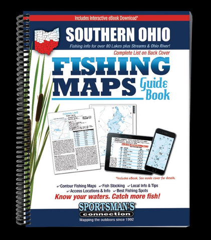
Southern Ohio Fishing Map Guide
The Southern Ohio Fishing Map Guide is a thorough, easy-to-use collection of detailed contour lake maps, fish stocking data, and the best fishing spots and tips from area experts.
Fishing maps, access and accommodations, detailed area road maps and exhaustive fishing information for lakes in the southern portion the state are provided in this 224-page, 8 ½ x 11” spiral-bound volume.
Lake maps and fishing information for all of southern Ohios fishing lakes & reservoirs -Alum Creek, Buckeye, Caesar Creek, Clendening and more - over 80 in all! Plus border-to-border coverage of the Ohio River! Discover all of southern Ohios great fishing opportunities with this handy guidebook!
Whether you’re going for catfish on the Ohio River, walleyes on C. J. Brown Reservoir or saugeyes on Seneca Lake, youll find all the information you need to enjoy a successful day out on the water on one of Ohio’s many excellent fisheries.
Know your waters. Catch more fish with the Southern O
- Product Number: SPCO_OH_SOUTHERN_16
- Reference Product Number: - None -
- ISBN: 9781885010476
- Date of Publication: 6/1/2016
- Unfolded (flat) Size: 11 inches high by 8.5 inches wide
- Map format: - None -
- Map type: Trade Maps - Fishing
- Geographical region: United States
- Geographical subregion: Ohio


