
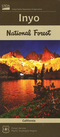
Inyo National Forest Map
The Inyo National Forest is an outdoor playground for millions of visitors every year. The Forest extends 165 miles along the California and Nevada border, and covers about 2 million acres. Located mostly on the eastern slope of the Sierra Nevada Range, the Forest contains pristine lakes, high elevation meadows, winding streams, unique Jeffrey Pine forests, rugged peaks, and arid Great Basin mountains. Elevations range from 4000 in Owens Valley, to 14,496 at Mt. Whitney, the highest peak in the contiguous United States.
- Product Number: USFS_INYO_22
- Reference Product Number: - None -
- ISBN: 9781628114447
- Date of Publication: 6/1/2022
- Folded Size: 9.06 inches high by 3.94 inches wide
- Unfolded (flat) Size: 397.64 inches high by 33.86 inches wide
- Map format: Folded
- Map type: Trade Maps - Park
- Geographical region: United States
- Geographical subregion: California


