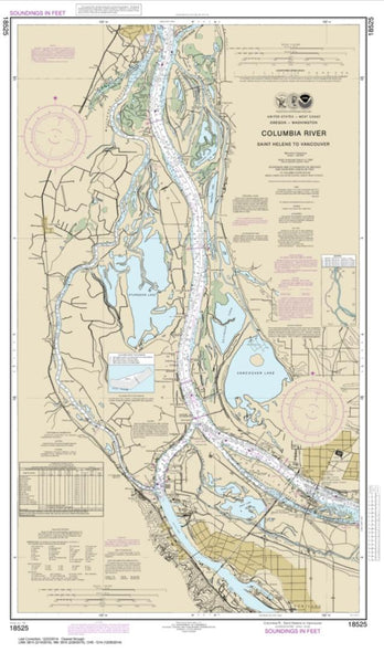
~ Vancouver WA topo map, 1:250000 scale, 1 X 2 Degree, Historical, 1948, updated 1957
Vancouver, Washington, USGS topographic map dated 1948.
Includes geographic coordinates (latitude and longitude). This topographic map is suitable for hiking, camping, and exploring, or framing it as a wall map.
Printed on-demand using high resolution imagery, on heavy weight and acid free paper, or alternatively on a variety of synthetic materials.
Topos available on paper, Waterproof, Poly, or Tyvek. Usually shipping rolled, unless combined with other folded maps in one order.
- Product Number: USGS-5689712
- Free digital map download (high-resolution, GeoPDF): Vancouver, Washington (file size: 23 MB)
- Map Size: please refer to the dimensions of the GeoPDF map above
- Weight (paper map): ca. 55 grams
- Map Type: POD USGS Topographic Map
- Map Series: HTMC
- Map Verison: Historical
- Cell ID: 396049
- Scan ID: 244439
- Imprint Year: 1957
- Aerial Photo Year: 1945
- Datum: NAD27
- Map Projection: Transverse Mercator
- Shaded Relief map: Yes
- Map published by United States Army Corps of Engineers
- Map published by United States Army
- Map Language: English
- Scanner Resolution: 600 dpi
- Map Cell Name: Vancouver
- Grid size: 1 X 2 Degree
- Date on map: 1948
- Map Scale: 1:250000
- Geographical region: Washington, United States
Neighboring Maps:
All neighboring USGS topo maps are available for sale online at a variety of scales.
Spatial coverage:
Topo map Vancouver, Washington, covers the geographical area associated the following places:
- Macksburg - Hebo - Maywood Park - Yankton - Whitford - South Portland (historical) - South Scappoose - Tillamook - Dover - Lake Oswego - Bolton - Tolovana Park - Rosewood - Paradise Park - Villa Ridge - Mountaindale - Alameda - Zena - Riverview (historical) - Tierra Del Mar - Foss - Marlene Village - Hamlet - McLoughlin Heights - Noble (historical) - Saint Paul - Progress - Union Mills - Piedmont - Bonny Slope - Creswell Heights - George - Fargher Lake - Pine Grove - McNulty - Nenamusa (historical) - Valley Junction - Dunthorpe - Oak Hills - Gresham - Gladstone - Bethel - Columbia City - Blooming - Caples Landing - Bonita - Eola Crest - Vernonia - Damascus Heights - McCoy - Riverwood - Kansas City - Maplewood - Mill Plain - Oretown - Officers Row - Interlachen - Garden Home - Oak Grove - Laurelhurst - West Woodburn - Westimber (historical) - Salmon Creek - Beaverton - Mulino - Yoder - Carnation - Labish Village - Cornelius - Vancouver - Rye - Corey Hill - Nehalem - Ariel - Jennings Lodge - Camas - Springdale - Patton - Mohler - Boyer - King City - Beaver Creek - Hemlock - Orient - Parkrose - Barview - Durham - Somerset West - Garfield (historical) - Capitol Hill - Bridal Veil - Ripplebrook - Pleasant Home - Ballston - Holcomb - Twelvemile Corner - Glenwood - Oceanside - Rivergrove - Ridgefield
- Map Area ID: AREA4645-124.0833333-122
- Northwest corner Lat/Long code: USGSNW46-124.0833333
- Northeast corner Lat/Long code: USGSNE46-122
- Southwest corner Lat/Long code: USGSSW45-124.0833333
- Southeast corner Lat/Long code: USGSSE45-122
- Northern map edge Latitude: 46
- Southern map edge Latitude: 45
- Western map edge Longitude: -124.0833333
- Eastern map edge Longitude: -122

