Free Shipping on map orders over $300
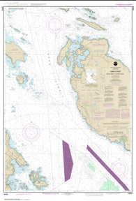
Haro-Strait-Middle Bank to Stuart Island (18433-6) by NOAA
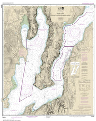
Hood Canal-South Point to Quatsap Point including Dabob Bay (18458-17) by NOAA
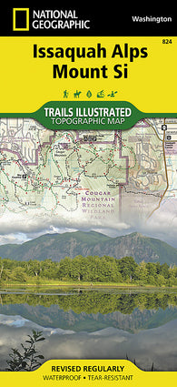
Issaquah Alps/Mount Si, WA, Map 824 by National Geographic Maps
Jefferson County, Washington by Pittmon Map Company
Kelso, Longview, Chehalis, Cowlitz County and Lewis County, Washington by GM Johnson
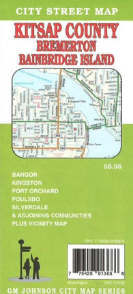
Kitsap County, Bremerton and Bainbridge Island, Washington by GM Johnson
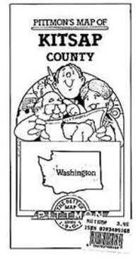
Kitsap County, Washington by Pittmon Map Company
Kittitas County, Washington by Pittmon Map Company
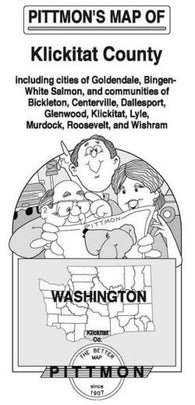
Klickitat County, Washington by Pittmon Map Company
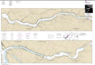
Lake Sacajawea (18545-15) by NOAA
Lake Washington Ship Canal and Lake Washington (18447-30) by NOAA
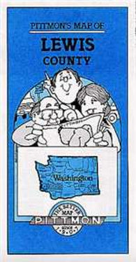
Lewis County, Washington by Pittmon Map Company
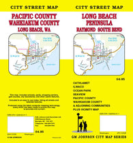
Long Beach Peninsula, Raymond and South Bend, Washington by GM Johnson
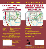
Marysville, Arlington, Stanwood and Camano Island, Washington by GM Johnson
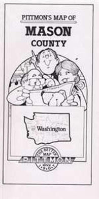
Mason County, Washington by Pittmon Map Company
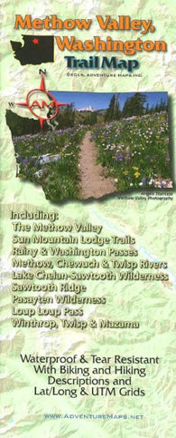
Methow Valley, WA, Trail Map by Adventure Maps
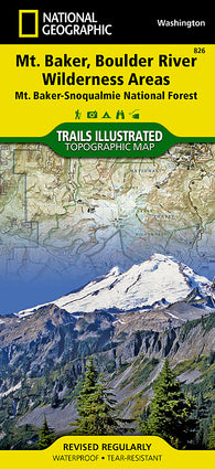
Mount Baker and Boulder River Wilderness Areas, Map 826 by National Geographic Maps
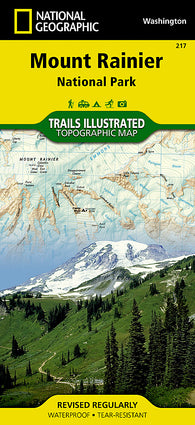
Mount Rainier National Park, Map 217 by National Geographic Maps
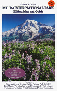
Mount Rainier National Park, Washington, waterproof by Earthwalk Press
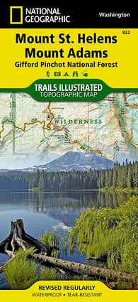
Mount St. Helens and Mount Adams, Map 822 by National Geographic Maps
Neah Bay (18484-12) by NOAA
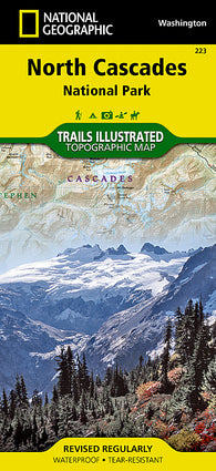
North Cascades National Park, Map 223 by National Geographic Maps
Oak and Crescent Harbors (18428-10) by NOAA
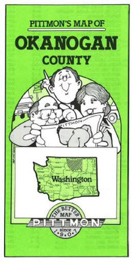
Okanogan County, Washington by Pittmon Map Company
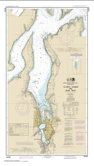
Olympia Harbor and Budd Inlet (18456-21) by NOAA
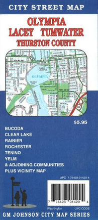
Olympia, Lacey, Tumwater and Thurston County, Washington by GM Johnson
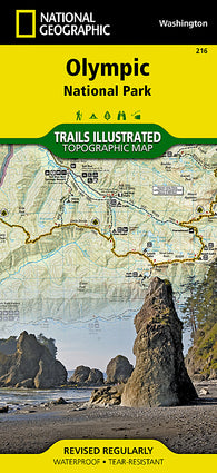
Olympic National Park, Map 216 by National Geographic Maps
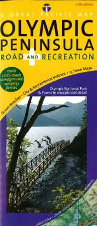
Olympic Peninsula, Road and Recreation by Great Pacific Recreation & Travel Maps
Pacific County, Washington by Pittmon Map Company
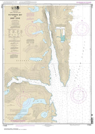
Patterson Bay and Deep Cove (17335-9) by NOAA
Pend Oreille County, Washington by Pittmon Map Company
Pierce County, Washington by Pittmon Map Company
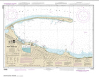
Port Angeles (18468-19) by NOAA
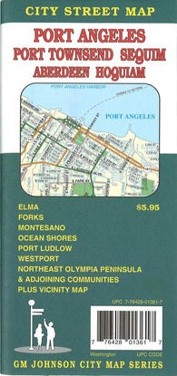
Port Angeles, Port Townsend, Sequim, Aberdeen and Hoquiam, Washington by GM Johnson
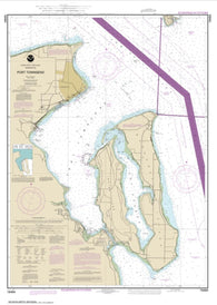
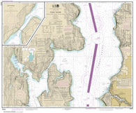
Port Townsend (18464-25) by NOAA
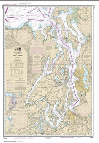
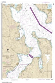
Puget Sound (18440-30) by NOAA
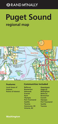
Puget Sound Regional by Rand McNally
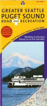
Puget Sound, Road & Recreation by Great Pacific Recreation & Travel Maps
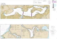
Puget Sound-Apple Cove Point to Keyport; Agate Passage (18446-18) by NOAA
Puget Sound-Entrance to Hood Canal (18477-5) by NOAA