Free Shipping on map orders over $300
Redridge to Saxon Harbor; Ontonagon harbor; Black River Harbor; Saxon Harbor (14965-23) by NOAA
Sheboygan, Manitowoc and Two Rivers, Wisconsin by The Seeger Map Company Inc.
SMALL-CRAFT BOOK CHART - Lake Winnebago and Lower Fox River (book of 34 charts) (14916-10) by NOAA
Stevens Point, Marshfield and Wisconsin Rapids, Wisconsin by The Seeger Map Company Inc.
Sturgeon Bay and Canal; Sturgeon Bay (14919-28) by NOAA
Upper Green Bay - Jackson Harbor and Detroit Harbor; Detroit Harbor; Jackson Harbor; Baileys Harbor (14909-20) by NOAA
Walworth County, Wisconsin by The Seeger Map Company Inc.
Washington County, Wisconsin by The Seeger Map Company Inc.
Washington County, Wisconsin Street Map by Seeger Map Company
Waukesha County, Wisconsin by The Seeger Map Company Inc.
Waukesha County, Wisconsin Street Map by Seeger Map Company
Waupaca County, Wisconsin by The Seeger Map Company Inc.
Wausau, Wisconsin by The Seeger Map Company Inc.
Wisconsin by Rand McNally
Wisconsin Dells, Wisconsin by The Seeger Map Company Inc.
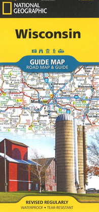
Wisconsin Guide Map by National Geographic Maps
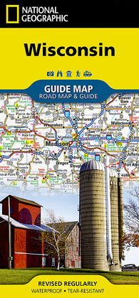
Wisconsin GuideMap by National Geographic Maps
Wisconsin GuideMap, Laminated by National Geographic Maps
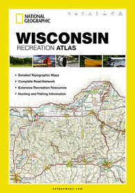
Wisconsin Recreation Atlas by National Geographic Maps
Wisconsin, Atlas and Gazetteer by DeLorme
Wisconsin, Central, Regional/Back Roads by GM Johnson
Wisconsin, Easy to Fold by Rand McNally
Wisconsin, Northern by GM Johnson
Wisconsin, Physical Wall Map by Raven Maps
Wisconsin, Physical, Laminated Wall Map by Raven Maps
Wisconsin, Southern, Back Roads by GM Johnson
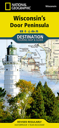
Wisconsins Door Peninsula DestinationMap by National Geographic Maps
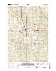
~ Abbotsford WI topo map, 1:24000 scale, 7.5 X 7.5 Minute, 2015
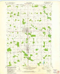
~ Abbotsford WI topo map, 1:24000 scale, 7.5 X 7.5 Minute, Historical, 1981, updated 1982
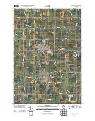
~ Abbotsford WI topo map, 1:24000 scale, 7.5 X 7.5 Minute, Historical, 2010
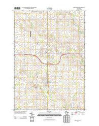
~ Abbotsford WI topo map, 1:24000 scale, 7.5 X 7.5 Minute, Historical, 2013
~ Abbotsford WI topo map, 1:48000 scale, 15 X 15 Minute, Historical, 1953, updated 1955
~ Abbotsford WI topo map, 1:62500 scale, 15 X 15 Minute, Historical, 1963, updated 1964
~ Abrams WI topo map, 1:24000 scale, 7.5 X 7.5 Minute, 2016
~ Abrams WI topo map, 1:24000 scale, 7.5 X 7.5 Minute, Historical, 1974, updated 1977
~ Abrams WI topo map, 1:24000 scale, 7.5 X 7.5 Minute, Historical, 2010
~ Abrams WI topo map, 1:24000 scale, 7.5 X 7.5 Minute, Historical, 2013